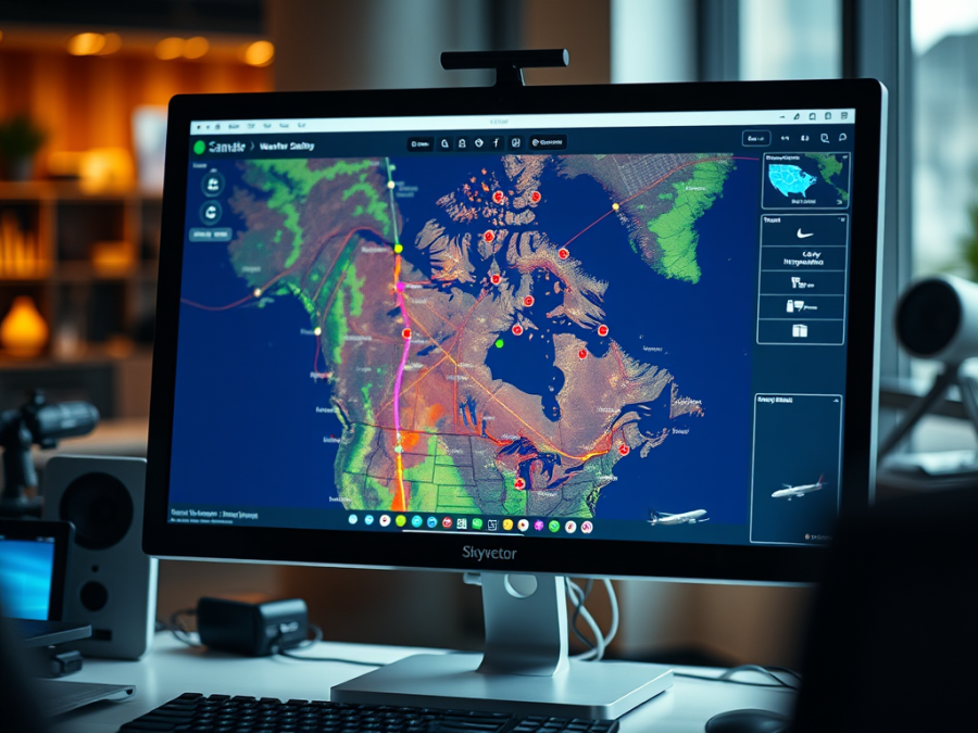
SkyVector is a flight planning tool tailored for aviation, allowing users to easily navigate and customize their maps. While it excels in U.S. data accessibility, it lacks detailed Canadian VFR navigation charts. Users can create flight plans, access weather data, and view airport information, making it a valuable resource for pilots.